
Kaleshwaram Project has been conceived from the erstwhile Dr. B.R. Ambedkar Pranahita- Chevella Sujala Sravanthi project.
Originally, Dr. B.R. Ambedkar Pranahita- Chevella Sujala Sravanthi was proposed to utilize 160 TMC of allocated water of Godavari basin as per GWDT award. A barrage was proposed at Tummidihetti(V) to divert 160 TMC of water to irrigate 16.40 lakh Ac in 7 districts of Telangana State viz., Adilabad, Nizamabad, Karimnagar, Medak, Warangal, Nalgonda & Rangareddy, besides drinking water & industrial water.
The project contemplated to provide Irrigation facilities for an ayacut of 16,40,000 Acres in drought prone areas in 7 Districts in Telangana State. Further, it also planned to provide 10 TMC of Drinking Water to the villages enroute, 30 TMC of Drinking Water to twin Cities of Hyderabad & Secunderabad and 16 TMC of water for Industrial use.
The entire project works are divided into 7 links & 28 packages. Agreements are concluded for all 28 Packages during 2007-08 & 2008-09. But, due to the following aspects the project was taken up for re-engineering:
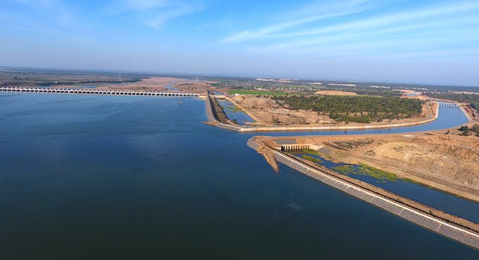
In Kaleshwaram, Telangana, India, the Kaleshwaram Lift Irrigation Project (KLIP) is a multipurpose irrigation project on the Godavari River. The Pranhita-Godavari river confluence is the location of the largest multi-stage lift irrigation project in the world right now. The Wardha, Painganga, and Wainganga rivers, which together make up the seventh-largest drainage basin on the subcontinent, come together at the confluence of the Pranahita River.
Source RIVER : KADDAM, WHICH IS A TRIBUTARY TO GODAVARI RIVER Sub Basin G10 Catchment area 2590 Sq.Km (1000sq.Miles) Gross storage 7.603 TMC Catchment Shape Fan shaped Falls steeply 1in 350 highest point in the catchment +457 M ( 1500ft) lowest above mean sea level +183 M (600ft) Flood Discharge (observed) 14696 Cumces (5,19,000 cusecs) Designed Discharge 10800m3/sec (3.82 lakh Cusecs) Annual yield calculated at the proposed site 75% Dependability 29TMC 821.M.Cum Average rainfall 947mm (37”) It is under influence of both south west and north east Monsoons. supplementation from SRSPis only 60% Latitude 190 – 07’-00” North Longitude 780 -47’-00” East
It was reconstructed with an increased spillway capacity adding nine flood gates, and with an increased storage capacity of 127.M.cum raising FRL to +213.30M from +212.10M. An area of 27,519Ha under 98 Villages of Kaddam, Jannaram, Dandepalli, Luxettipet, MancherialMandals of Adilabad District was localised for paddy cultivation under the Project
| Sl No | Classification | Area in Sq.kms. | % Area |
|---|---|---|---|
| 1 | Forest area | 1512.17 | 56.93 |
| 2 | Cultivabale Land | 1645 | 55 |
Kaddam, Jannaram, Dandepalli, Luxettipet, Mancherial of Adilabad District
Operation & Maintenance in Progress


Contact
- Hyderabad, India
- +91 91234-01234
- support@twrdc.com